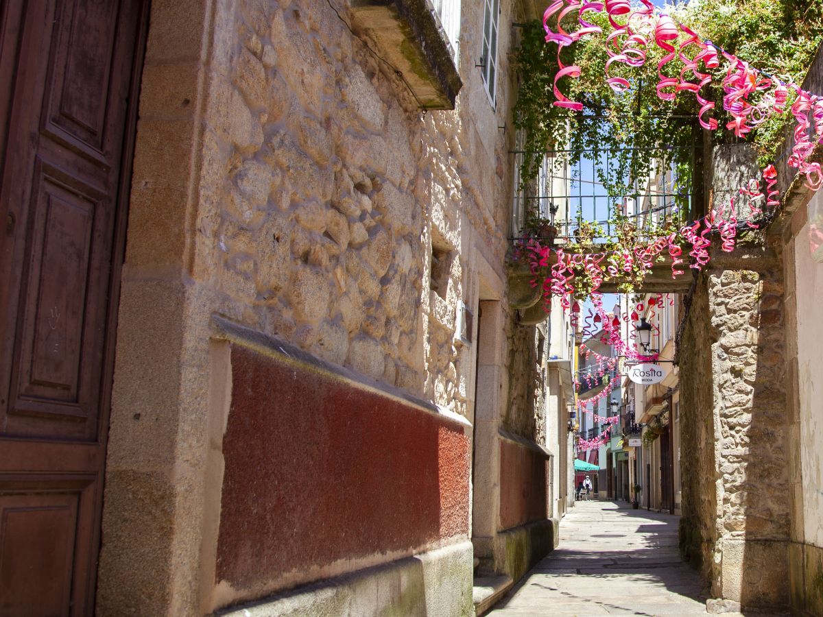
The geographer Pedro García Vidal, in his book A Noia da memoria (1991), classifies Noia’s old town not only as the area within the medieval city wall but also the outskirts that arose in the town’s early history. The areas of Pedrachán and Espíritu Santo, the street called A Carreiriña with the necropolis and Church of Santa María “A Nova,” the old road to Santiago that was called Corredoira de Afora, along with the Porta da Vila entrance, are places that should be included in Noia’s old town. In the north of the town, the ensemble formed by the Alameda (park) and the Convent of San Francisco, and the streets called Besteiros and Ferrrador also form part of this space.
Contact
Address:
- Noya
GPS:
42.78427570, -8.88828910


